

Description
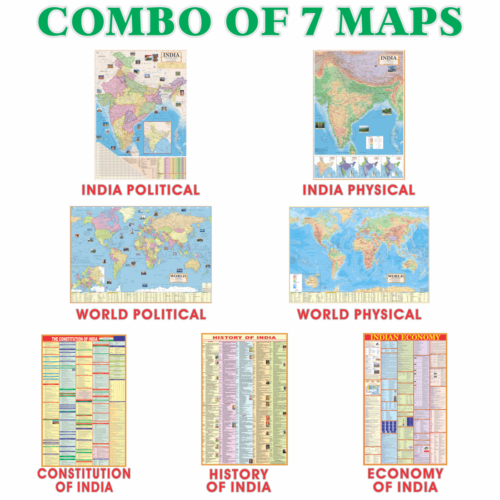
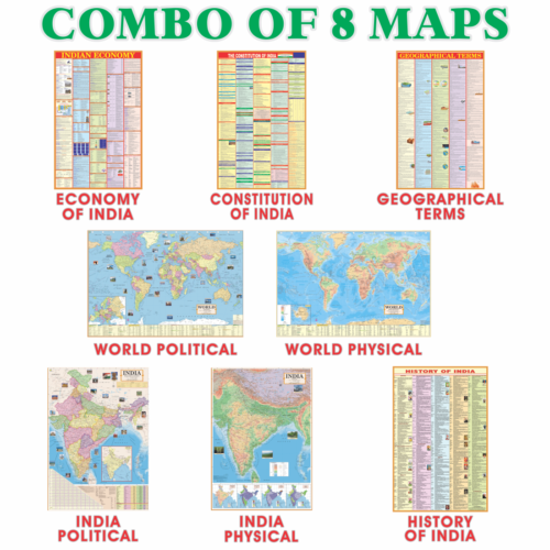
Indian Political English Map: India map by Smart Book Publisher is printed on high quality paper and laminated with polyester film giving it extra durability. The map shows states of India with city names and capitals, it also shows neighboring countries.The text is sharp and easily readable. It is a must have political map for kids, for schools and even for offices.


Reviews
There are no reviews yet.