
Description
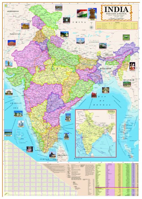
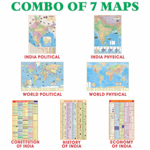
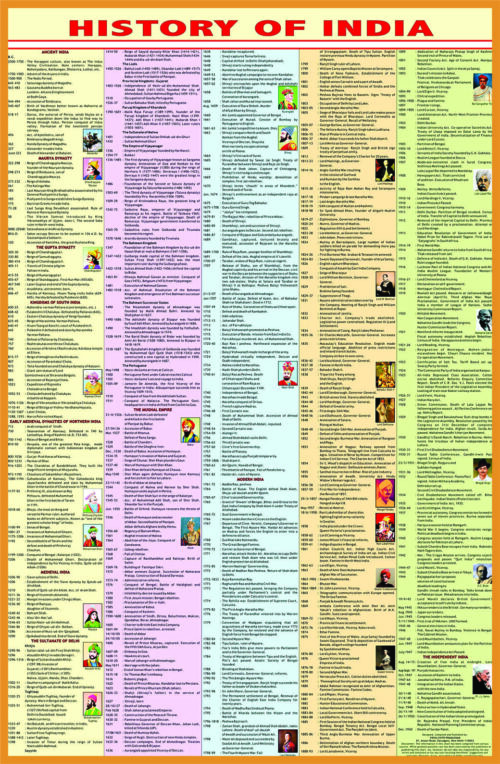
The World Political English Map is a great way to enhance the knowledge of children. Showing country borders, city names and capital cities, this map gives your child an amazing way to learn world geography. Made from quality materials and finished with vibrant colors, this is sure to be a conversation starter in any home or classroom. With sharp details that illustrate the Earth’s landmasses as well as major bodies of water, World Political English Map provides an educational experience for young minds that also looks great hanging on any wall. This is the perfect addition to any home and can make learning easy and fun for kids of all ages. Whether your child is just starting out or deepening their studies of world geography, this map can give them plenty of insight into our globe’s many countries and cultures.


Reviews
There are no reviews yet.